

DESIGN FOR THE PUBLIC
Sleeping Bear Dunes National Lakeshore
I believe in design as a social service, one that helps people engage with their world. The National Park Service gave me a chance to put that belief into practice when they invited me to create eleven interpretive signs for the scenic drive at Sleeping Bear Dunes.
the backstory
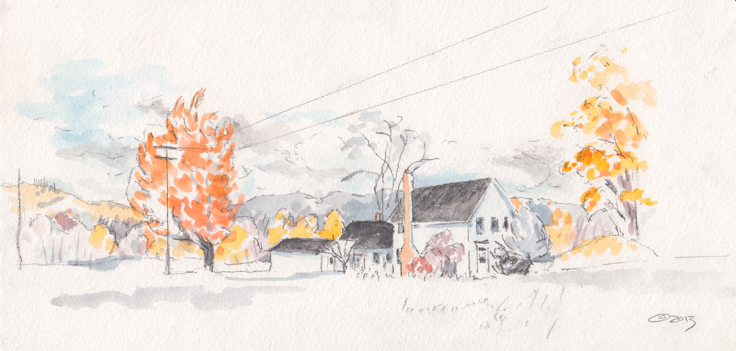
Self-portrait with Lake Michigan, 2013
In 2013, I applied for an artist residency at Sleeping Bear. In my application, I wrote that I planned “to reveal place through symbolic details and frozen moments.”
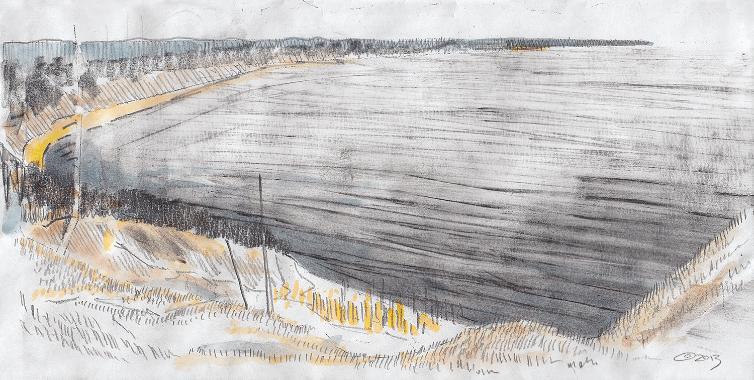
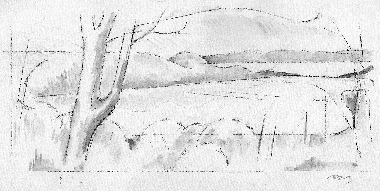
Frozen became the operative word. The federal government shut down on October 1, the day my residency was supposed to begin. By the time the park reopened and I reached the lake, winter weather was also arriving in northern Michigan. Hailstorms pummeled me; ice formed in my watercolors. Wind crippled my fingers and sent drawings tumbling across the dunes. I was aiming for 100-200 drawings. I didn’t come close. The late start, dwindling daylight, and increasingly bitter cold forced me to leave after two weeks with a pile of incomplete drawings and field sketches.
An opportunity squandered, or so I thought.
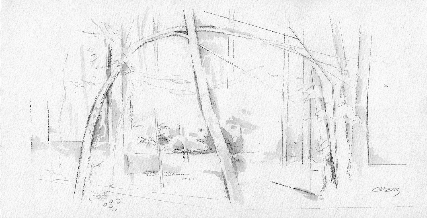
A brief window of sunshine graces my drawing rig in the ghost forest on Sleeping Bear Point.
Ghost Forest, 2013 (in progress)
“We needed to interpret the many varied stories of our scenic drive. We were overwhelmed by all we wanted to convey. Oliver took what we had collected, added his own research, and crafted eleven enchanting waysides that illustrate our stories and fascinate our visitors.”
FINDING THE INVISIBLE
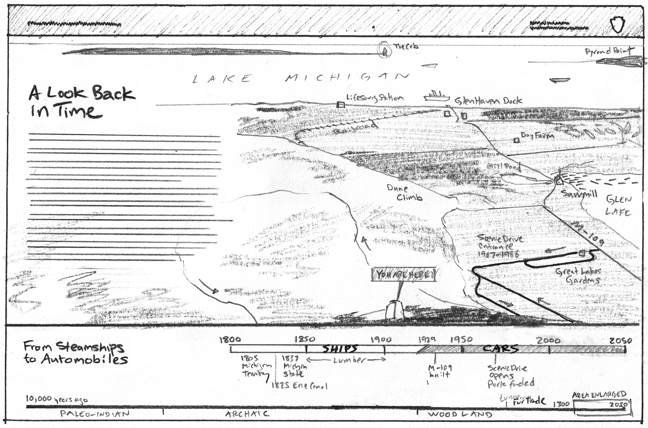
During my residency, park staff said they wanted to create new interpretive signs along Pierce Stocking Scenic Drive. The drive is a 7.4-mile loop with jaw-dropping views. Interpretive signs often label what you can see in the distance. There’s so much history to this region that you CAN’T see. My brain began to tingle. A series of custom maps and graphics could reveal those invisible stories.
The next summer, I visited the park again and pitched my interest in the project. Another year of planning followed, and by June 2015—with generous support from Friends of Sleeping Bear Dunes—I was ready to work. First step: researching the region.
I met with experts, walked the land, and pored over historical maps, photographs, newspaper clippings, and artifacts. From this mass of material, unexpected stories began to emerge: shipwrecks; constellations; blueprints for a presidential retreat on Glen Lake; the “Dunesmobiles” that once drove on the dunes; 8,000 years of human habitation; and the true Legend of the Manitou Islands and Sleeping Bear. Now, how to visualize them?
FIRST DRAFTS


Each sign needed an image to catch your eye and a short text to hold it. For the Legend of the Manitou Islands, I wanted to show the most critical moment in the story: the mother bear’s decision to enter the lake and risk everything for her family.
Once the park approved my concept sketches, I worked up more detailed versions in pencil and began writing the text. By February 2016, I’d drafted text for all eleven panels, which we sent to experts for review. Content pertaining to Anishinaabek history and culture was reviewed by Frank Ettawageshik, Elder of the Little Traverse Bands of Odawa, past Tribal Chairman, and current Executive Director of the United Tribes of Michigan. I am forever grateful to him and to SBDNL’s Susan Sanders and Laura Quackenbush for their insight.
FINAL ART
Because these signs will often be viewed in direct sunlight, the background could not be white. It’d be blinding. With my preferred medium—transparent watercolors—a tone background changes everything. For inspiration on how to handle watercolor and gouache landscapes on toned paper, I turned to the sketchbooks of Thomas Moran and Paul Nash. Once I figured out a color palette, I made digital color studies before starting on the final paintings.


In September 2017—four years after my residency’s abrupt end—these stories were installed along the drive.
Making stuff that lasts takes time. It’s a slow process of constant revision, much like the formation of these dunes.
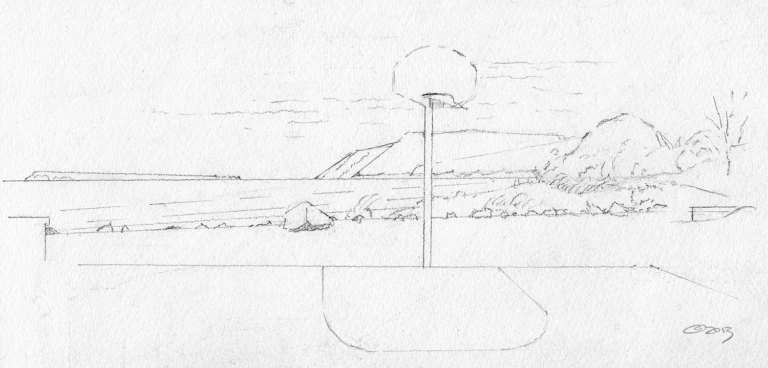
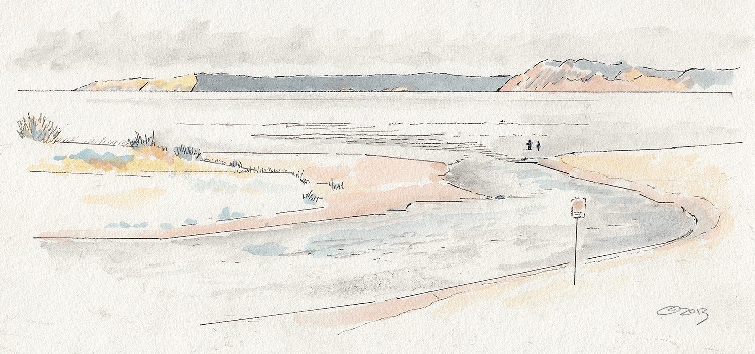
Pierce Stocking Scenic Drive Wayside #4: Dune Overlook
Wayside #10: Lake Michigan Overlook